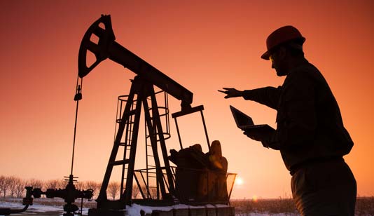
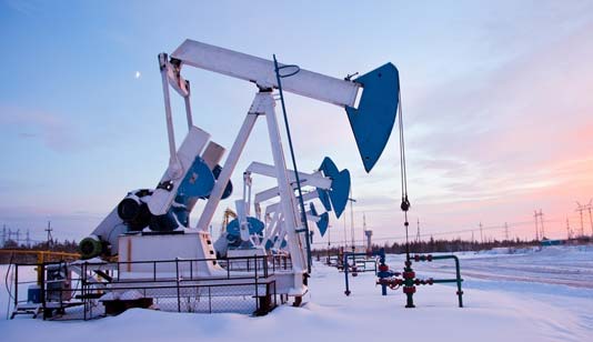
Create optimal plays from discovery to production
How can I quickly gather information to determine opportunity and assess risk? AccuMap™ from S&P Global is a mapping, data management and analysis software for companies operating in the Western Canadian Sedimentary Basin and Frontier areas. Used by geoscientists, land personnel, accounting staff and managers, AccuMap integrates various datasets including land, well, spatial, midstream and production information to see the big picture opportunity. Use AccuMap to:
- Incorporate industry knowledge into specific oil and gas stages
- Work through plays from discovery to production
- Move data easily between applications
- Create customized workflow solutions
- Support exploration decisions with a single application
- Access and integrate data from AccuLogs™, GeoSyn™ and Petra™